For those flying to make The Arlington Fly-In…..
Here are some web cam shots (LIVE- real time) that may assist any flying to the event with weather concerns. I have included popular waypoints and airport cams from San Diego to just North of Arlington (KAWO)
Aviation Disclaimer:These web cam images are being provided as a service for pilots to view current airport conditions. It should not take the place of a pilotge … responsibility for obtaining a full, pre-flight weather briefing prior to flight from their local FAA Flight Service Station.  KAWO Airport Looking North
 KAWO Airport Looking East
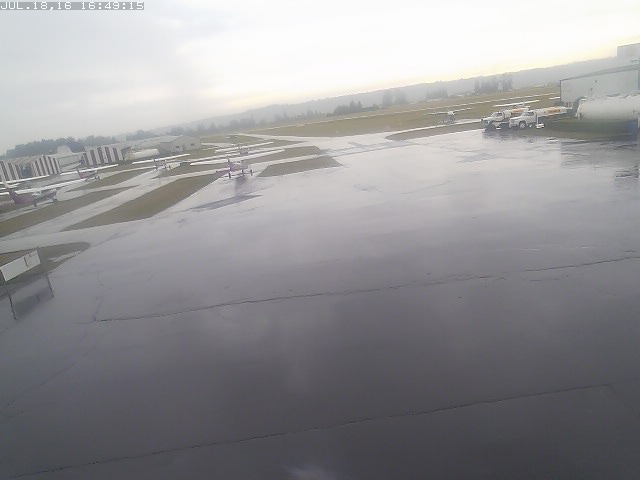
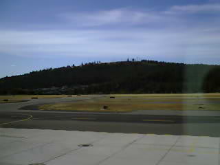
 KAWO Airport Looking South
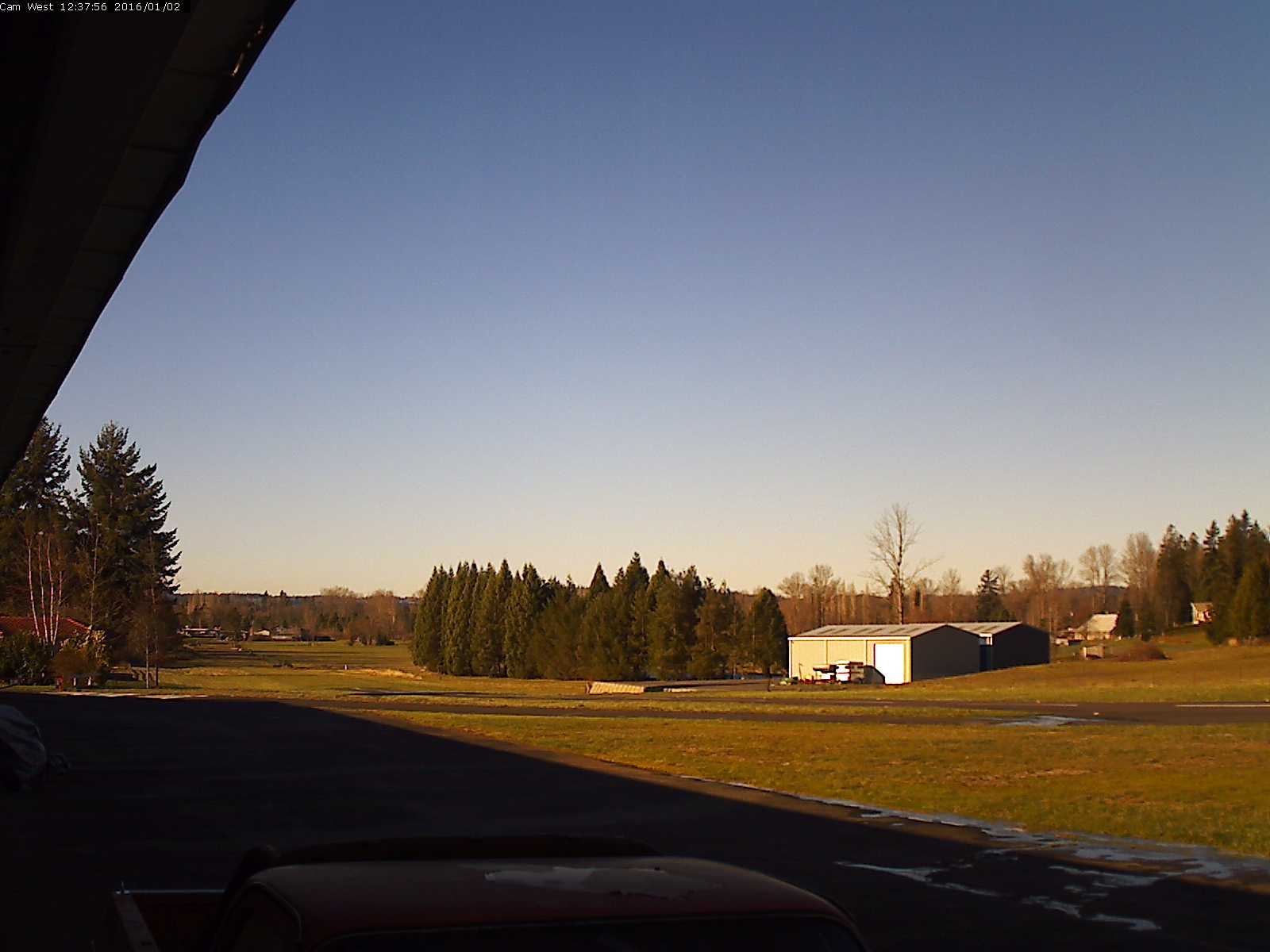
 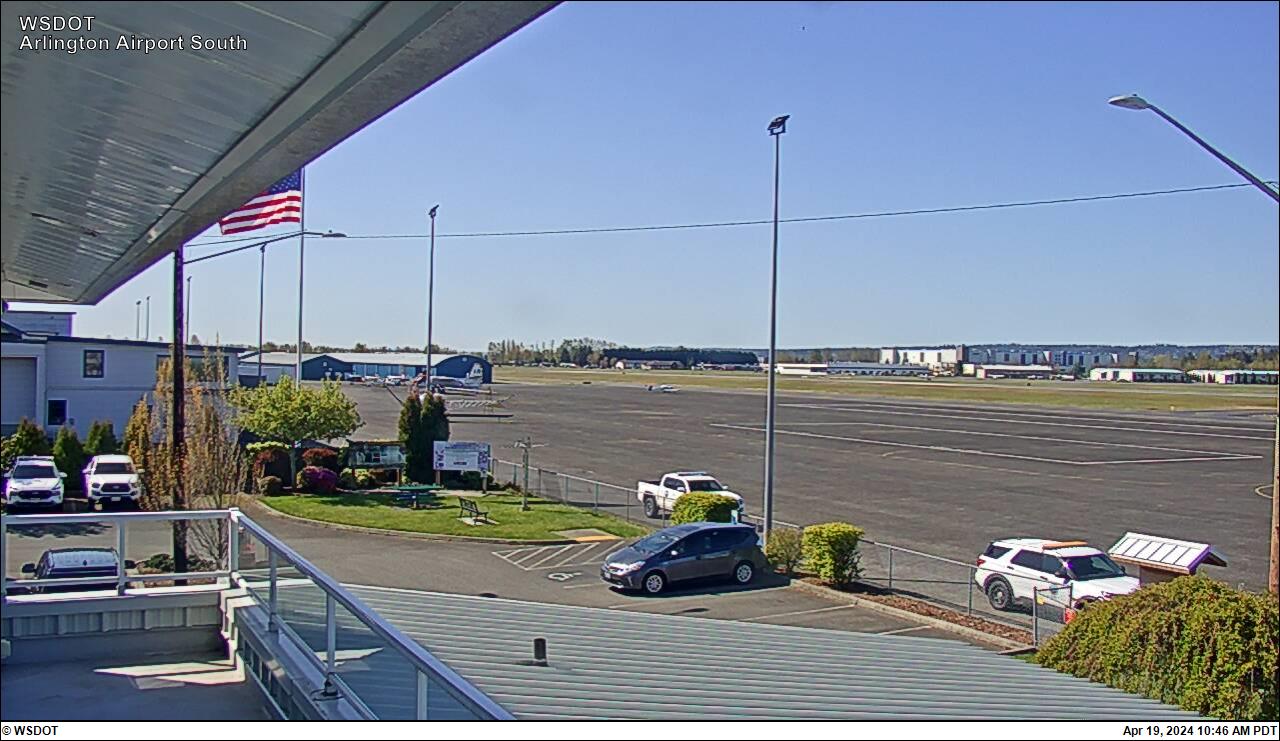 KAWO Airport Looking West
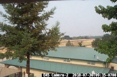
 Harvey Field
  Port Townsend
  Fall City Looking towards Mt. Si
 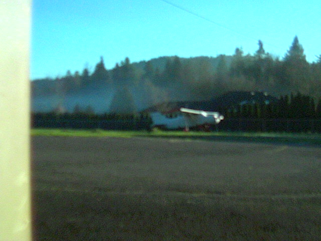 Fall City Looking towards Tiger Mountain
 Fall City Loking west towards Union Hill
 Concrete looking west
  Concrete looking north
  Concrete looking east
 Concrete looking south
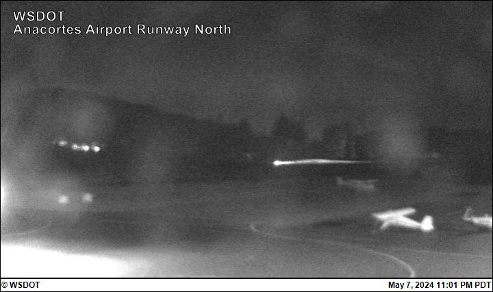 Anacortes, WA Runway North View
 Anacortes, WA Runway South View
 Anacortes, WA Gate View
 Rosario Resort

Eastsound
(Looking due south from ORS 16 Departure)
 Smuggler’s Villa
(NE corner of ORS field)
 Friday Harbor
 Roche Harbor looking West
Abbotsford, BC
(Hwy 1 Looking East) 
Hope, BC
Looking East 
Hope, BC
Looking West
Auburn, WA Looking North
Auburn, WA Looking East
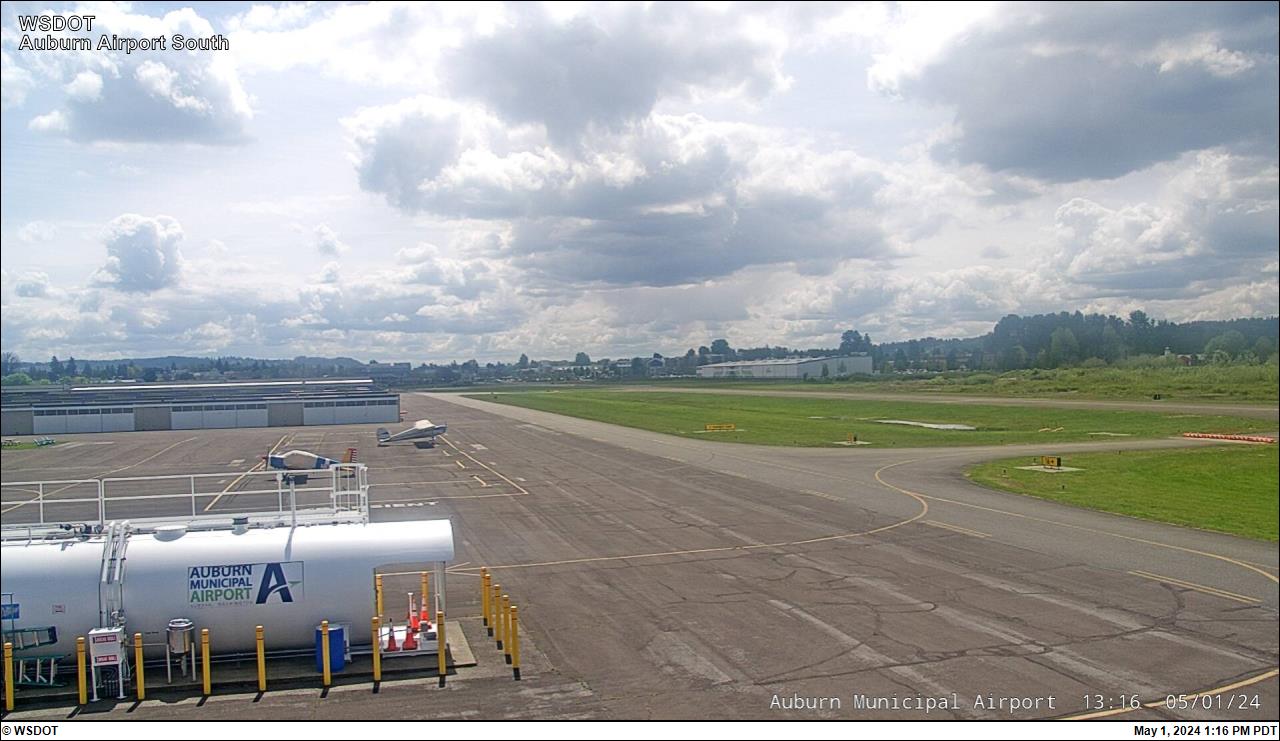
Auburn, WA Looking South
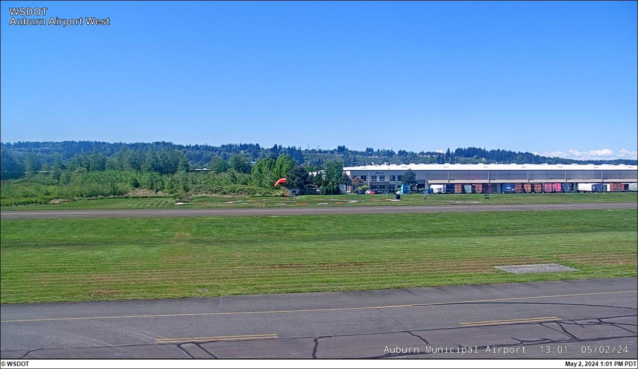
Auburn, WA Looking West
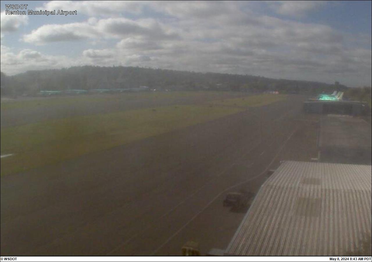 Renton, WA
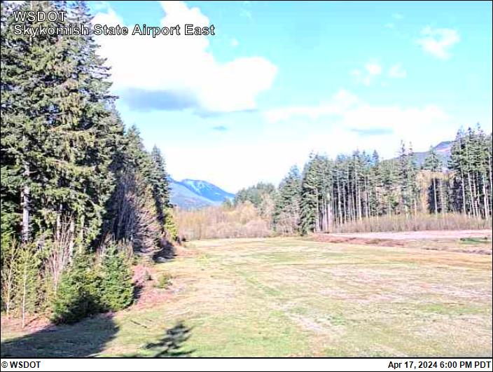
Skykomish, WA Looking East
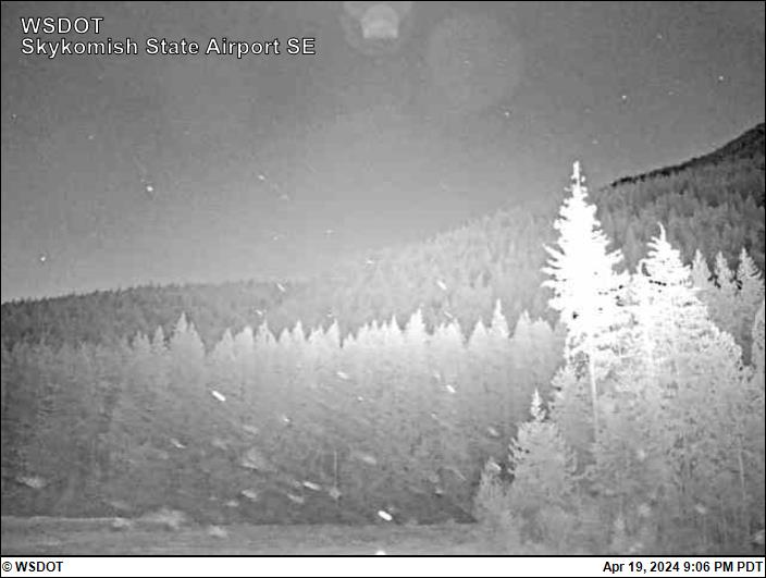
Skykomish, WA Looking SE
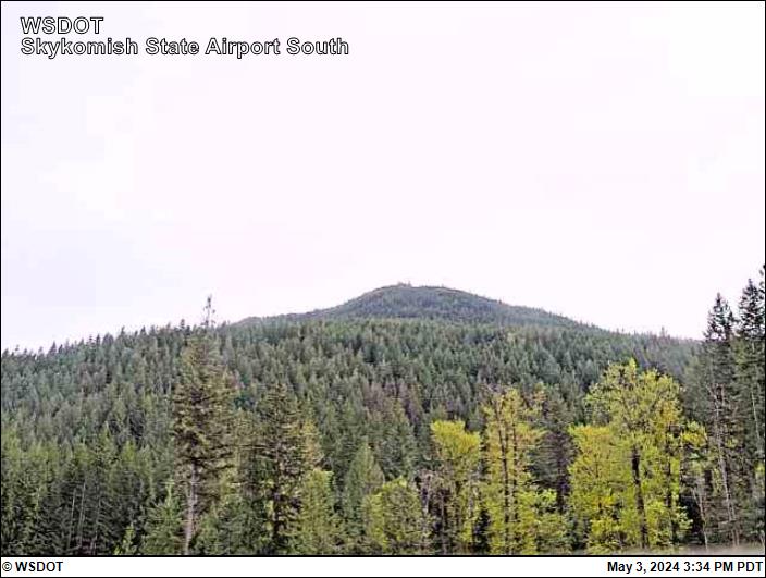
Skykomish, WA Looking South
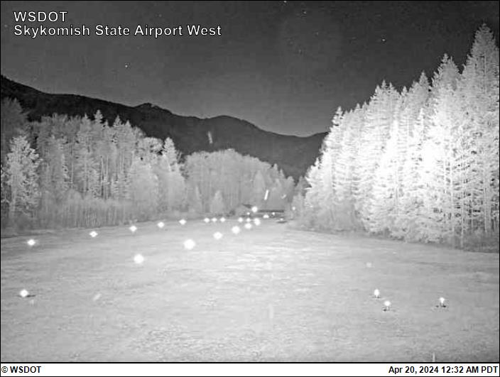
Skykomish, WA Looking West
 Easton, WA

Wilson Creek, WA Looking North

Wilson Creek, WA Looking East

Wilson Creek, WA Looking South

Wilson Creek, WA Looking West
 Yakima, WA
  Wenatchee, WA
 Spokane, WA
(Felts Field)
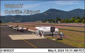 Colville, WA
 Olympia – Washington
 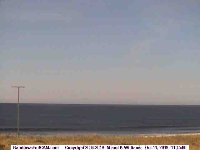 Westport, WA
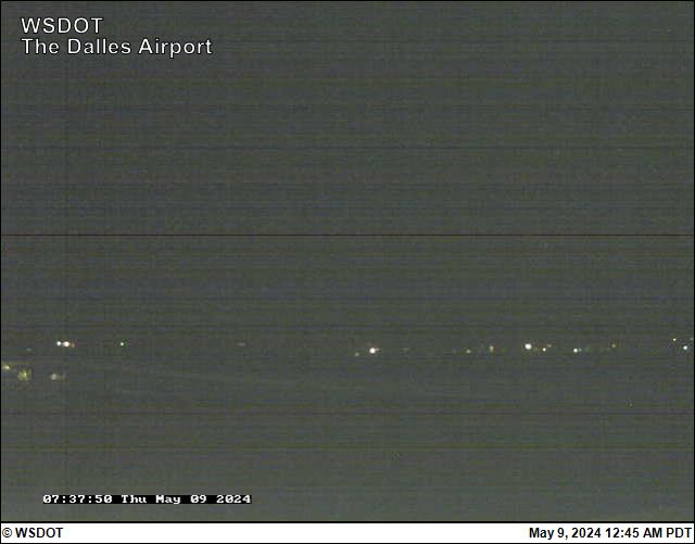 The Dalles
 Portland Airport
 Oregon Coast (Lincoln City, OR)

KAST Looking East  Siskiyou Summit Looking North
  Siskiyous I-5 Exit 6 Looking North
  Siskiyou Summit – California Side
 San Carlos, CA
Approach End RWY 12  San Carlos, CA
Approach End RWY 30  Half Moon Bay, CA
 Weed Airport, CA